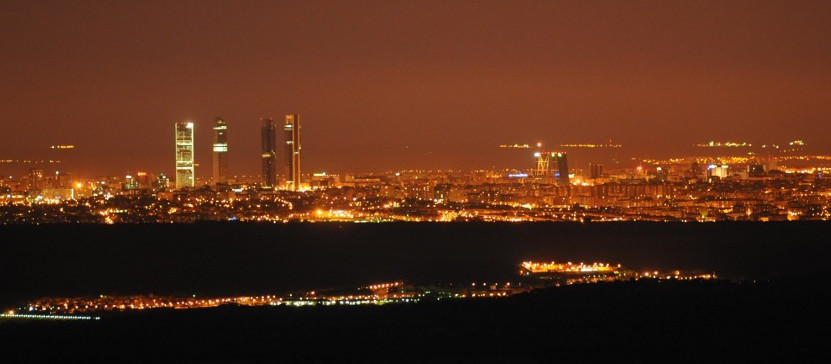


自2003年以来,宇航员已采取从国际空间站照片。许多这些图像已发表在航天员参与机构或Twitter账户的网站。然而,大多数采取的宇航员的图像没有被公布,并保持在该文件中没有被显示给世界。 我们已经作出了选择在这个画廊可以 显示在夜间城市的图片千余例。然而,仍然有成千上万的图像文件上的发现。 You can help.
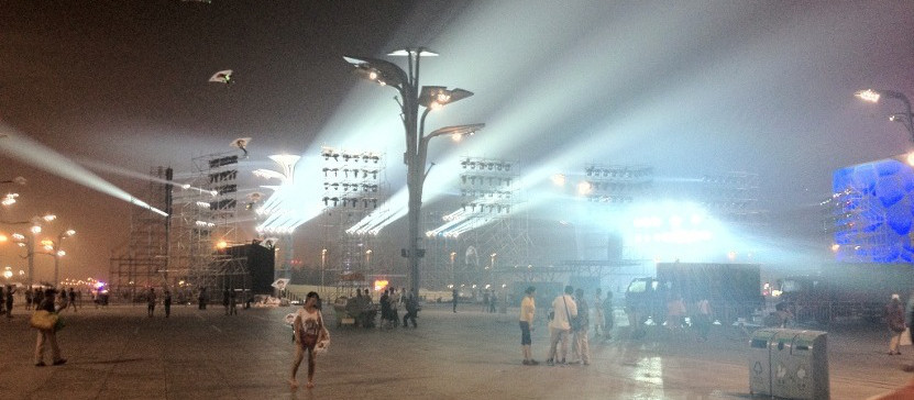
光污染会导致严重的问题。它的效果可以从我们的卧室内被测量到几百公里的路程。光破坏了晚上黑暗的本质。人类有黑暗的祖先的恐惧,但太多的光产生对生态系统和我们的健康非常不利的影响。
卫星图像帮助我们衡量和比较,照亮大片。与采取在国际空间站的宇航员图像的颜色,我们可以测量照明在地球上许多城市的效率。
公民科学是把科研和教育工具的工具。当你帮助我们分类采取宇航员未公开影像英里,你可以了解地理,因为它是夜的土地。人类比在识别模式的计算机有效得多。因此,任何公民都可以做出显著贡献。
目前的技术存在,以防止光线不良的地方排放。智能系统也将自动调节光视需求.

The first step is locate the city which appears in the picture. Here you can find where was the ISS at the moment when the picture was taken. Just click on any red dot and identify it http://crowdcrafting.org/app/LostAtNight
If you make use of this gallery, please cite this article: Sanchez de Miguel, A., Gomez Castano, J., Zamorano, J., Pascual, S., Angeles, M., Cayuela, L., ... & Kyba, C. (2014). Atlas of astronaut photos of Earth at night. ASTRONOMY & GEOPHYSICS, 55(4), 36-36.(in press).
Click on any location you know and get access to our georeference application. Select some points on the ISS picture and the same points on the map. This information allow us to identify correctly all the features on the city. The original application at http://crowdcrafting.org/app/nightcitiesiss
To use it please cite: -Sanchez de Miguel, A., Gomez Castano, J., Zamorano, J., Pascual, S., Angeles, M., Cayuela, L., ... & Kyba, C. (2014). Atlas of astronaut photos of Earth at night. ASTRONOMY & GEOPHYSICS, 55(4), 36-36.(in press).